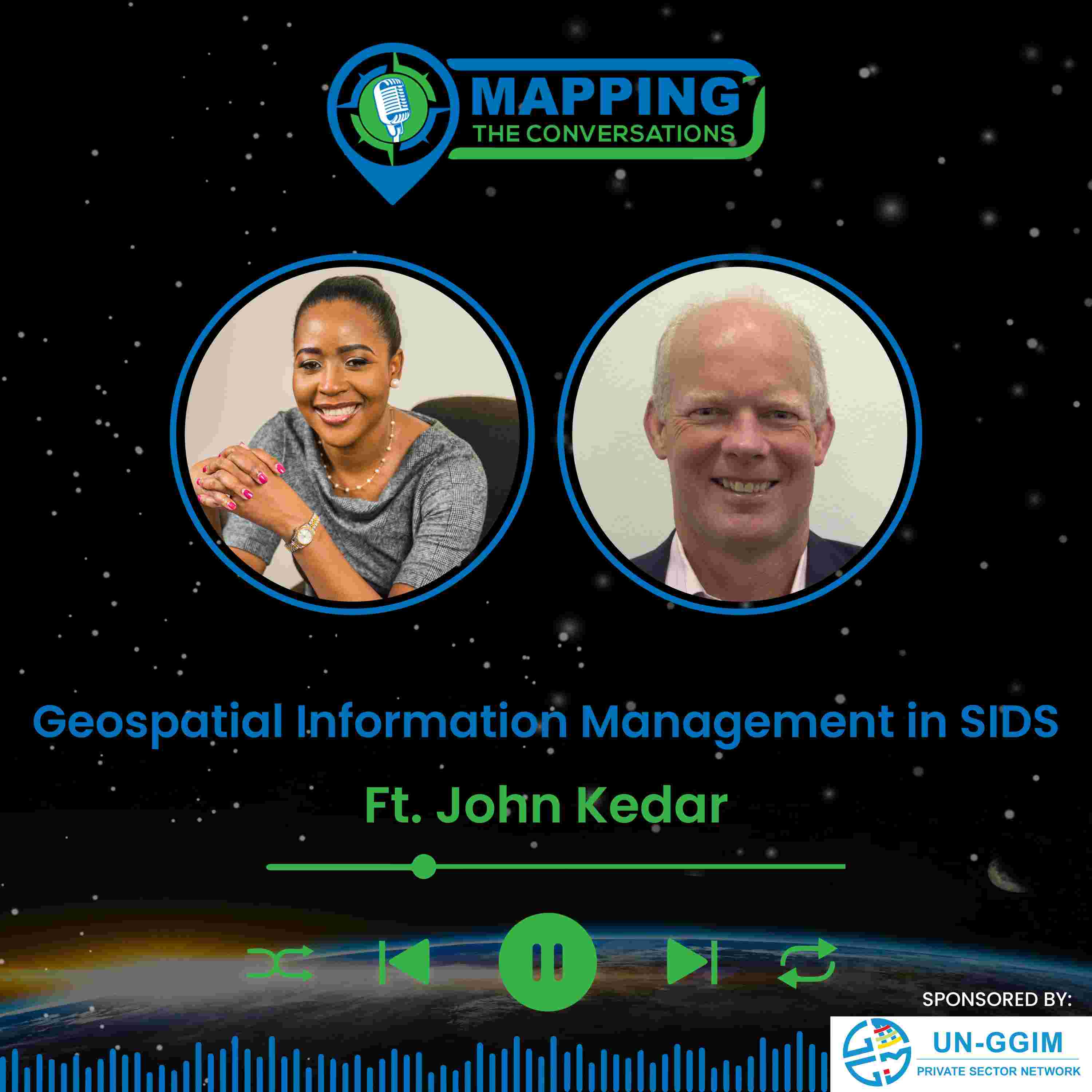

In this episode ofMapping the Conversations, host Valrie Grant sits down with John Kedar, a globally recognized geospatial strategy advisor and director of John Peter Geospatial Initiatives Limited. With an impressive career spanning the British Army, Ordnance Survey, and advisory roles for governments and international organizations, John has played a pivotal role in shaping national geospatialstrategies across the world.
Together, Valrie and John explore the factors influencing National Geospatial Information Management (NGIM)adoption in Small Island Developing States (SIDS), the role of collaboration in geospatial initiatives, and the transformative impact of spatial intelligence.They also discuss the UN Integrated Geospatial Information Framework (UN-IGIF) and its importance in strengthening geospatial maturity in SIDS, as well as the critical role of geospatial data in climate resilience, economic growth, andsustainable development.
Key Topics Covered:
If you're passionate about geospatial technology, location intelligence, and how maps shape the world, this is anepisode you won’t want to miss!
Connect with Us:
Valrie Grant:LinkedIn
Mapping the Conversations:Mapping The Conversations | GIM International (gim-international.com) |LinkedIn
Don't forget to subscribe toMapping the Conversationsfor more episodes featuring leading voices in geospatial science and innovation. Leave your feedback and tune in for our next episode!